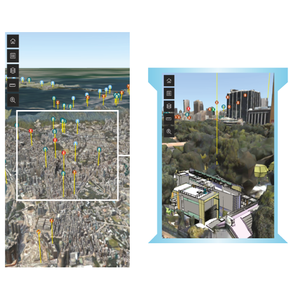
BIM in GIS (GIS Systems required)
3D building models (BIM) are integrated into a GIS map, allowing users to view and manage buildings in their real-world locations for better planning and analysis.
Improved Urban Planning
Combines building details with geographic context, helping planners make smarter decisions on zoning, infrastructure, and development.
Efficient Facility Management
Allows facility teams to visualize buildings in their exact locations, supporting better maintenance, asset tracking, and emergency response.